
Making Of
CROXTETH
1952 - 1956
Sixty years ago Liverpool City Council were in the middle of a slum clearance, the city planners had already developed suburban area's on the outskirts of the city such as Clubmoor, Dovecot, Fazakerley and Norris Green.
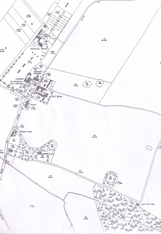
As the planners were looking at more rural locations, they focused on the area of Croxteth, just beyond West Derby Cemetery. Croxteth at that time only had a few farm buildings but was dominated by St Swithins R.C. Church which had stood on the site from 1410.
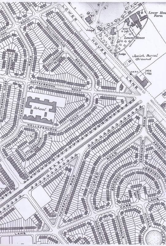
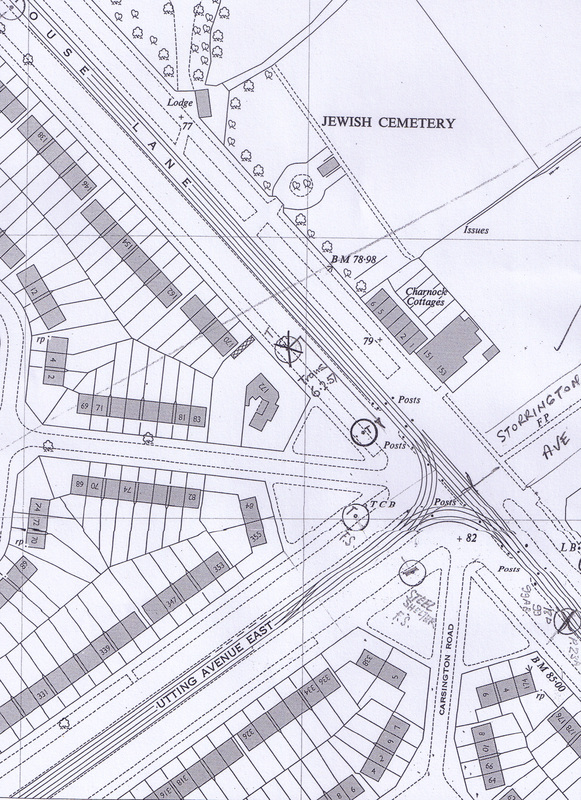
It was decided to build on the fields beyond Utting Avenue East and Lower House Lane, the only problem for the citizens of Liverpool was getting there, as the trams stopped at Utting Avenue East, the alternative was to travel along the East Lancashire Road.
As the planners were looking at more rural locations, they focused on the area of Croxteth, just beyond West Derby Cemetery. Croxteth at that time only had a few farm buildings but was dominated by St Swithins R.C. Church which had stood on the site from 1410.
It was decided to build on the fields beyond Utting Avenue East and Lower House Lane, the only problem for the citizens of Liverpool was getting there, as the trams stopped at Utting Avenue East, the alternative was to travel along the East Lancashire Road.
Map from 1909 show St Swithins Church.
|
Map dated1937, showing the end of the tram line at Utting Avenue East
|
a closer view of the tram terminus
|

The No 43 at Broadway
|
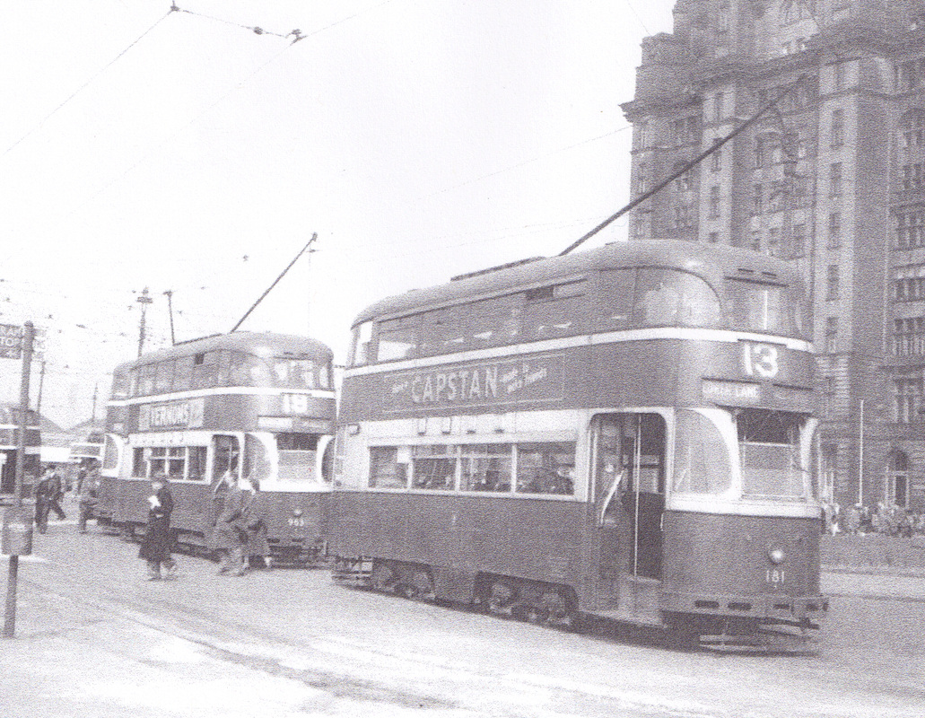
N0 13 and 19 at the Pier Head
|
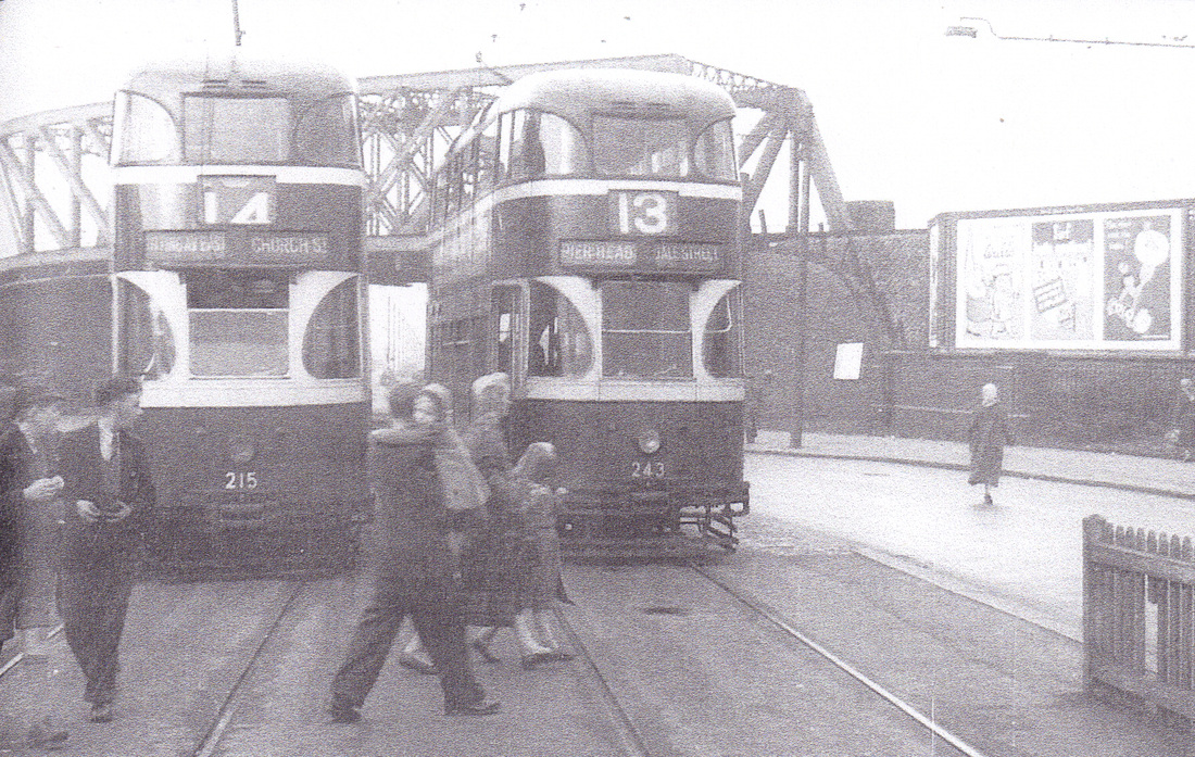
No14 and 13 at Broadway
|
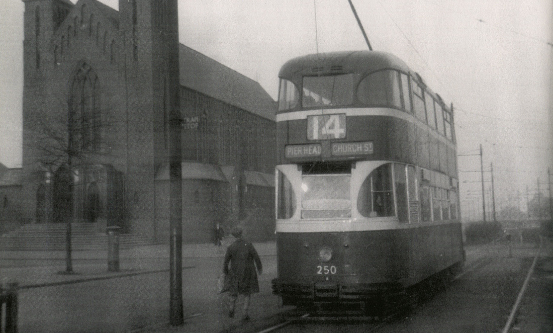
No14 tram passing St Teresa's
|
Before the building work started on the housing estate lets take a look around some of the streets and lanes around Croxteth before 1952.

Back Gillmoss Lane, 1938
|
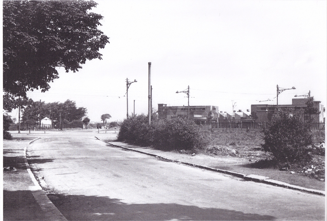
Stonebridge Lane looking towards Napiers
|
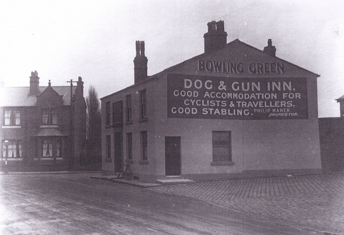
The Dog and Gun Pub 1927
|
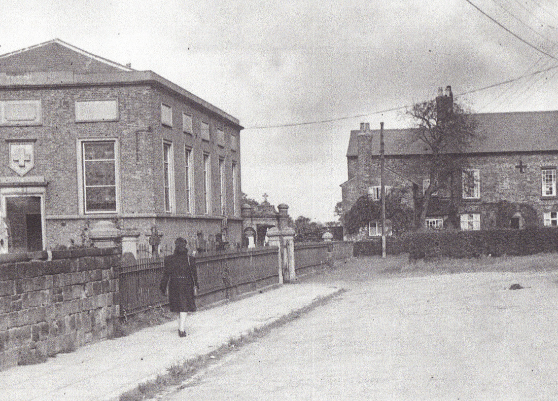
St Swithins Church 1944
|
All Mod Cons
One of the appeals of families moving to Croxteth was the commitment of the city planners to make Croxteth a little utopia with all amenities, Shops, Schools and nurseries, Churches, Pubs a library and a selection of 2, 3 and 4 bedroom houses.
Before the building of the Croxteth housing estate families were living in the small two up two down terraced houses which surrounded the Scotland Road, Great Homer Street, and Netherfield Road area's of Liverpool.
The small Victorian terraced homes couldn't match the facilities such as what was on offer on the new estate, indoor toilet and bathroom, electricity and front and back gardens, but most appealing was the sense of space and fresh air in the much larger homes on offer in Croxteth.
The idea the planners had for the estate was to build the show homes first which is now Crantock Close and then allocate the houses as families came to view the estate, along with the show homes they also had a map of the future of the estate, first to view the view homes was the families in the temporary prefab homes of Altbridge which ran parallel with the East Lancshire Road, which is now the site of the Showcase Cinema and the shopping complex.
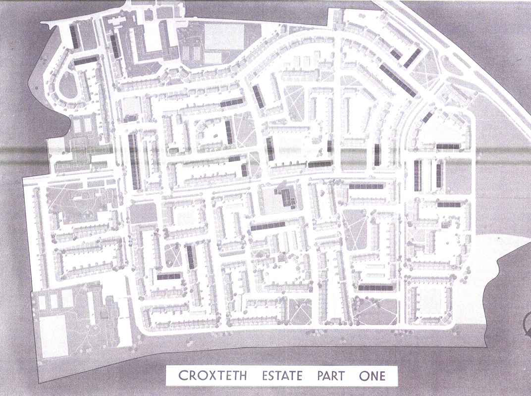
Croxteth Estate map 1952
|
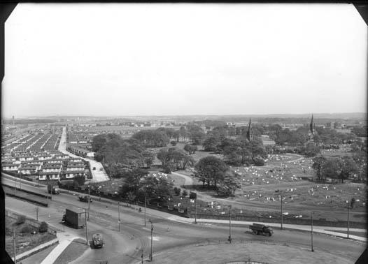
View from Coronation Court, showing the prefabs on Altbridge Road
|
The show homes in Crantock Close, 1952 -1954
|
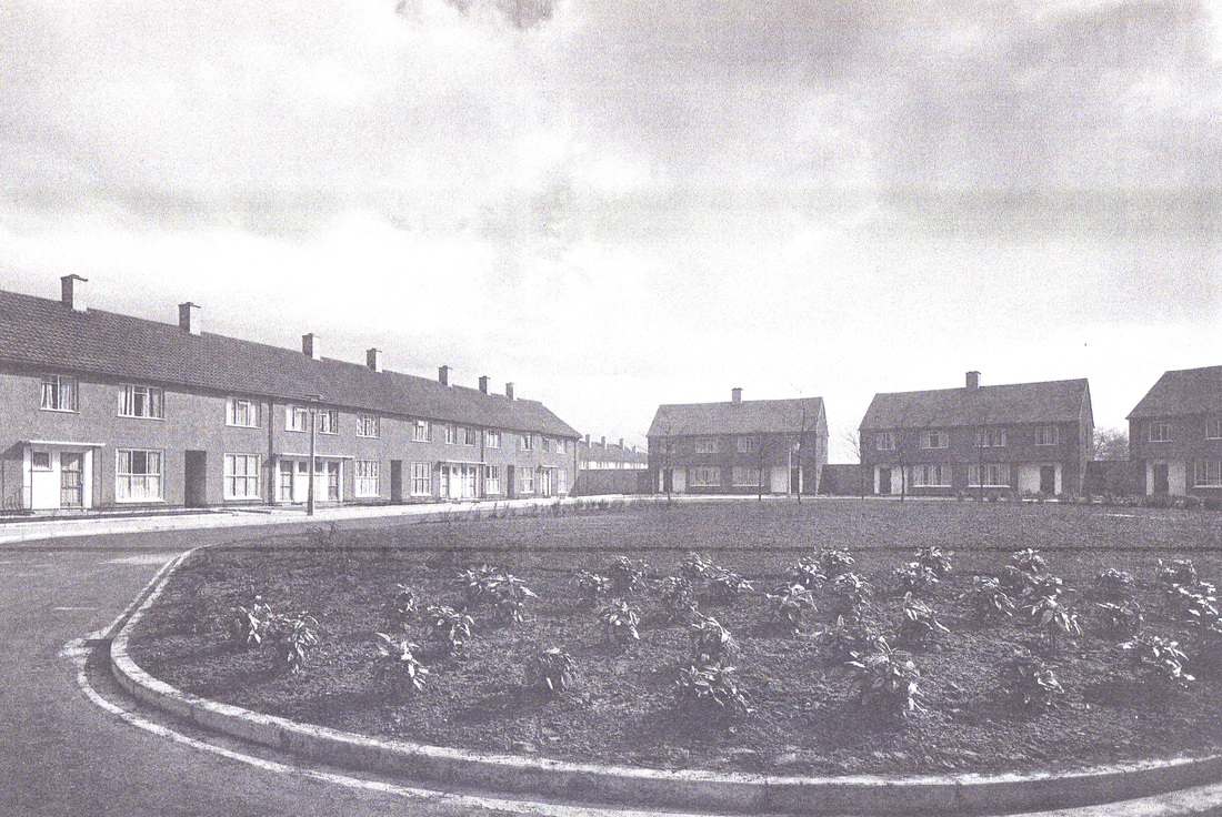
Crantock Close, completed with shrubs
|
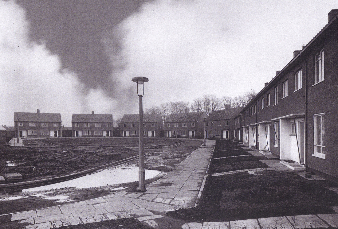
1952 - 1956
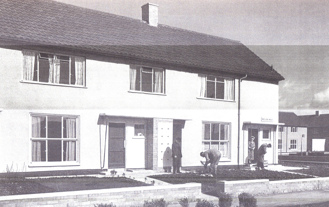
residents move into Mullion Walk
|
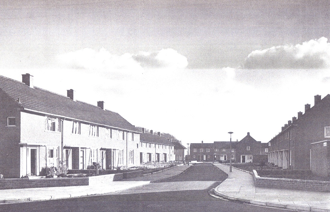
Blackwater Road
|
Petherick Road
|
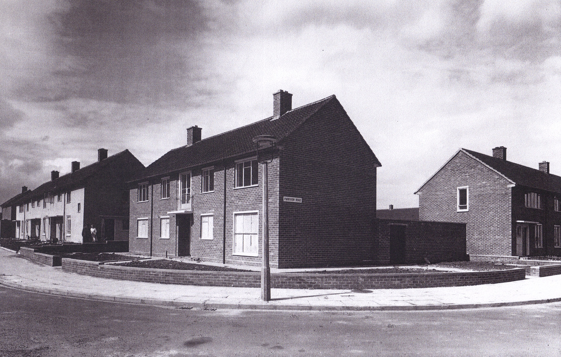
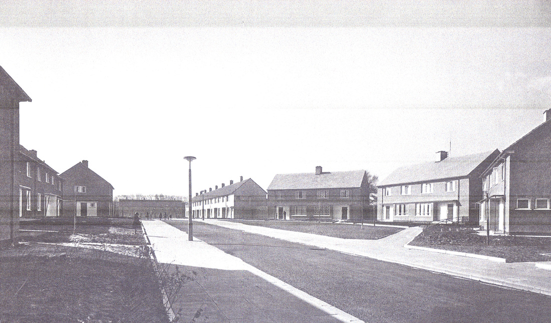
Parkview Road
|
By 1956 all the homes were occupied and the amenities that had been promised were up and running.
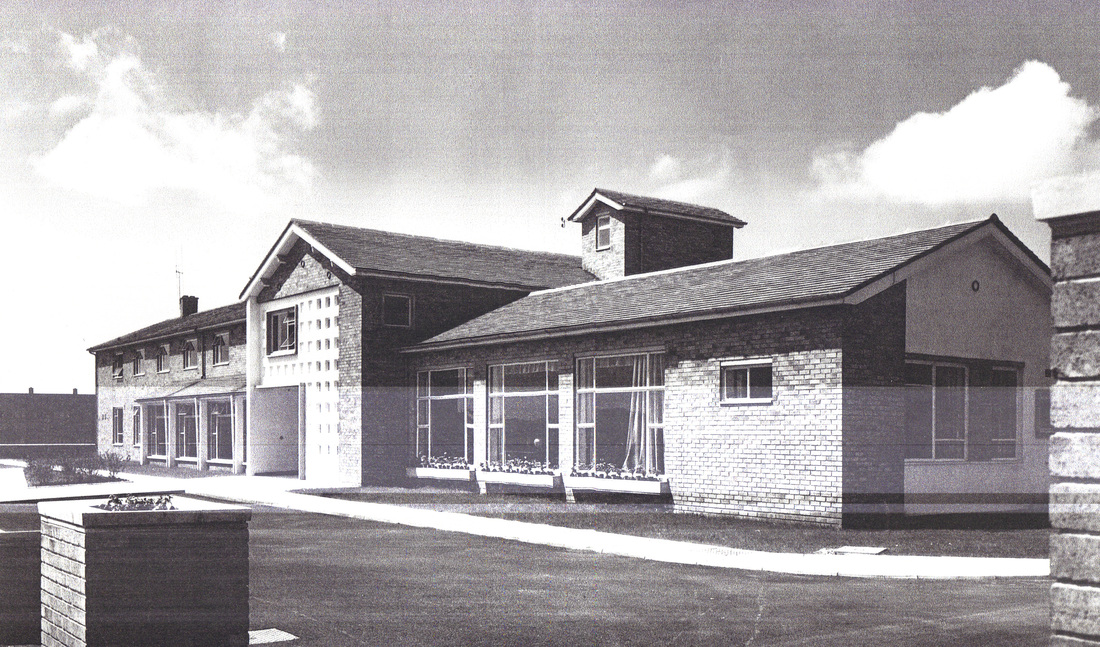
The Nursing Home on Altcross Road
|
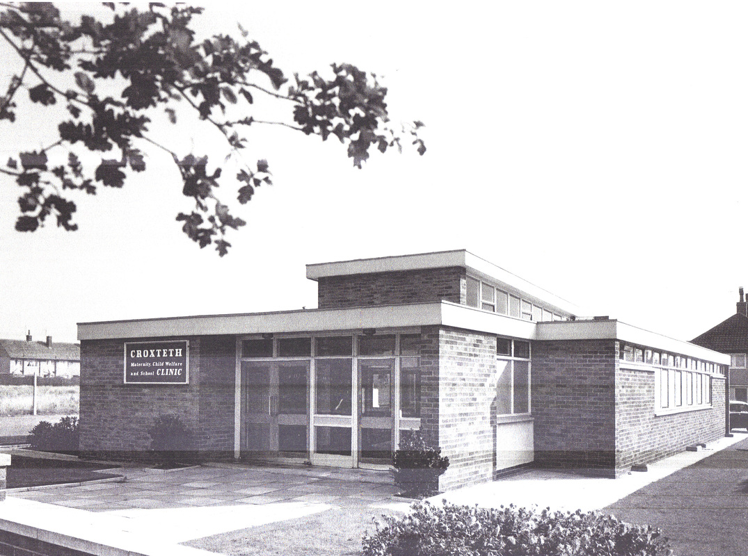
Croxteth Clinic on Altcross Road
|
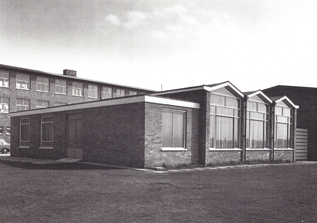
Croxteth Youth Centre, behind the school
|
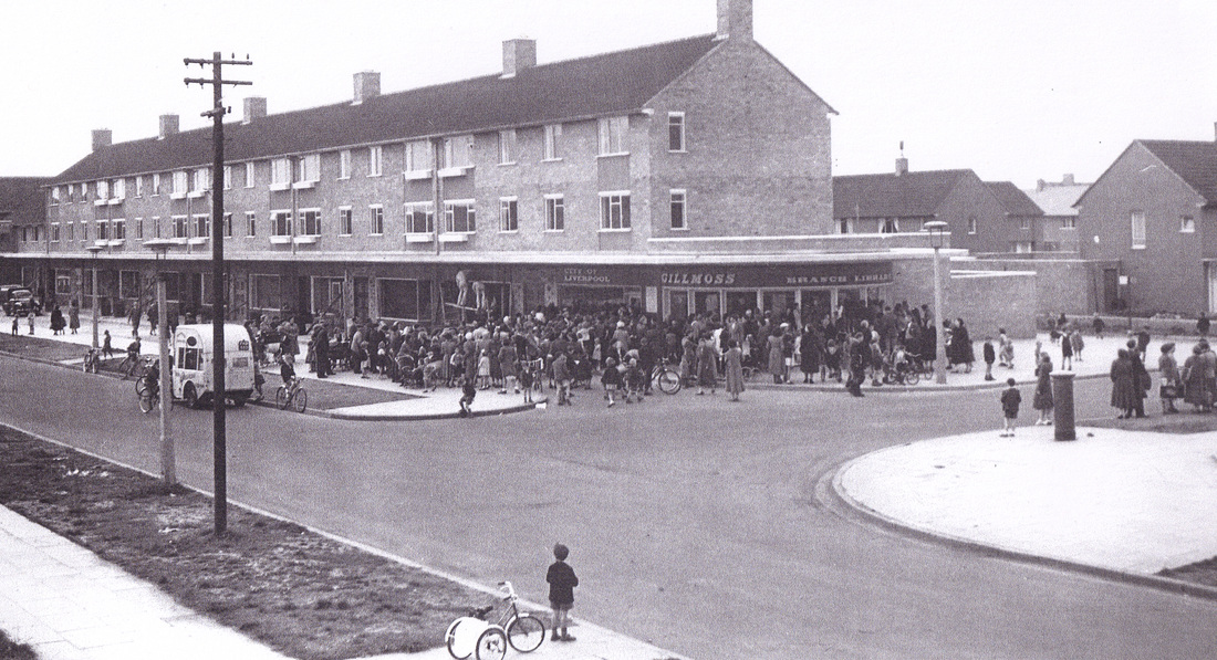
The opening of Croxteth Library on Moss Way
|